Sunscreen and Shades: Brisbane Sizzles with 35-Degree Peak and Early Fog
A Sizzling Outlook for the River City
Brisbane residents are waking up to a quintessential Queensland autumn day this Thursday, March 12, 2026. The latest reports from the Bureau of Meteorology indicate a significant warm-up is on the cards, with clear skies and high temperatures dominating the metropolitan landscape. After a mild evening, the city is set to experience a spike in heat that will see the mercury climb well above the seasonal average, making it one of the warmest days of the month so far.
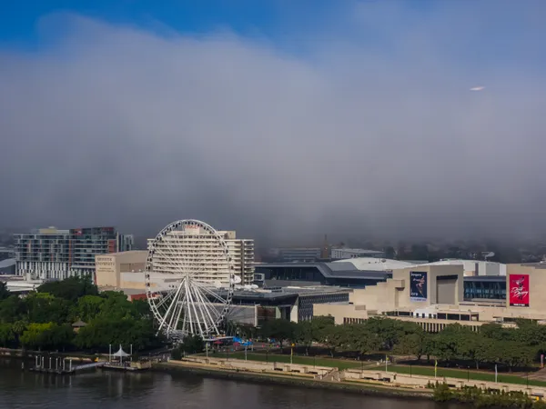
A Misty Start for the West
The morning began with a touch of atmospheric mystery for those residing in Brisbane’s western reaches. A light fog blanketed parts of the western suburbs in the early hours, potentially slowing down the dawn commute for residents in areas like Ipswich and Brookfield. Fortunately, the mist is expected to burn off rapidly as the sun climbs higher. The morning minimum sat at a comfortable 19°C, but the stillness of the early air was merely the precursor to a much hotter afternoon. Light winds are currently prevailing, providing a calm start to the workday before the northerly influence kicks in later today.
The Afternoon Peak and Wind Shifts
As we head into the afternoon, the sun will take center stage. Forecasters are predicting a maximum temperature of 35°C for the Brisbane area. This represents a largely dry heat, with the chance of any rainfall sitting at a negligible 5%. By the late afternoon, the current light winds are expected to shift, becoming northerly at speeds of 15 to 20 km/h. While this breeze may provide a slight stir in the air, it will do little to dampen the heat. If you are planning to be outdoors for lunch or school pick-ups, be prepared for intense conditions as the heat peaks between 1:00 PM and 4:00 PM.
Extreme UV Warnings and Sun Safety
The most pressing concern for today is the UV Index, which has been rated as "Extreme" with a predicted peak of 11. Sun protection is considered essential between 8:10 AM and 3:30 PM. Health officials are urging everyone to follow the standard sun-safety protocols: apply plenty of SPF 30+ sunscreen, wear a broad-brimmed hat, and seek shade wherever possible. Despite the high temperatures and dry air, there is currently no specific fire danger rating in effect for the region, though the dry conditions serve as a reminder to remain cautious. Total water consumption should also be a priority to avoid dehydration during the peak heat hours.
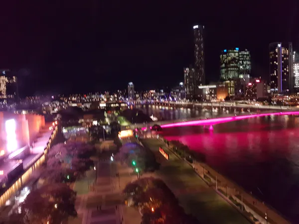
Evening Outlook
As the sun begins to set over the Taylor Range, the northerly winds will subside, returning to a light breeze in the evening. This will lead into a clear and warm night, making it an ideal evening for outdoor activities or a stroll along the South Bank parklands. However, the clear skies won't last forever; residents should keep their umbrellas handy for the end of the work week. This sudden burst of heat is expected to be a precursor to a high chance of showers and potential thunderstorms currently slated to arrive on Friday morning.
World Science Festival Kickoff and Twilight Markets Highlight a Busy Brisbane Friday
Science, Soundwaves, and a City Glow-Up: Your Brisbane Friday Briefing
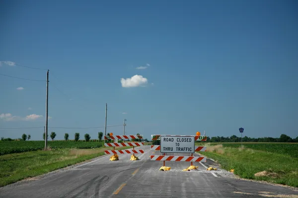
Eagle Street Crane Works and Logan Motorway Closures: Brisbane Friday Commute Guide